Sunday, April 10, 2022

Godley Hut

Members of the South Canterbury Branch of the New Zealand Alpine Club recently spent the weekend up at Godley Hut with the purpose of putting a third coat of paint on the exterior. 

Surveying the scene before the walk in.

Although a public road from Lilybank, the track is through and across numerous stretches of water and bumps over boulders where parts have been washed out. A great job driving by Rob with Gary navigating the 30 km to the "parking lot" in 3 hours. Another hour's walk gets to the hut around the corner at the right.


The Maud Glacier with terminal face (centre photograph) in the lake.

The hut used to be green but had been given a coat of its original (or as close too) orange colour. A second coat of paint was done in about 2 hours on a warm bright sunny Saturday afternoon." Many hands make light work."

Gary and Rob roped up, paint brushes in hand.

Godley Hut after a fresh coat of paint

Godley Hut with its rock foundations.

The is at an altitude over 1,100m in heavily glaciated area. The views and rock layers are worth the effort to get there. After finishing the painting we had a few hours to explore and walk up the Godley River to another glacial lake on Sunday morning.

Time for a brew after finishing the painting and other tasks.


Photos in the hut book show a different picture in 1972 with ice filling the area in front of where this photo was taken.

Moraine left behind and a glacier just hanging on.


The layers of sedimentary rocks are most greywacke and argillite.  Greywacke of a very hard compacted sandstone whilst argillite is a mudstone which splits more easily. When these layers of sediment were laid down over several hundred million years they were in horizontal parallel layers. Earth movements have uplifted, tilted and twisted the rock layers as the Southern Alps were formed. The evidence is very clearly seen here.

Mt Moffat, 2638m with its hanging glacier


Shattering layers of rocks tilted to vertical.


A closer view with a chaotic pile of rubble.


A coarse grained sandstone showing signs of high compression.

Highly contorted argillitic mudstone.


A quick walk on Sunday morning saw us at the terminal lake of the Godley Glacier. This lake was not here in 1972!!!

Lake Godley. This is as far was we could go.
The lake goes around to the
right to the terminal face.

It was time to go back to the hut, put the billy on then tidy up for the long trek out and down the river valley and home nearly 6 hours later. Thanks to the Alpine Club for including me as "official photographer and assistant painter".

Lake Grey on the way back on Sunday.


Tuesday, April 5, 2022

Kepler Track 3

 Day 3

After a hard day yesterday, the walk today was easy, 16.2km in around 6 hours. Down through the beech forest following the Iris Burn. 

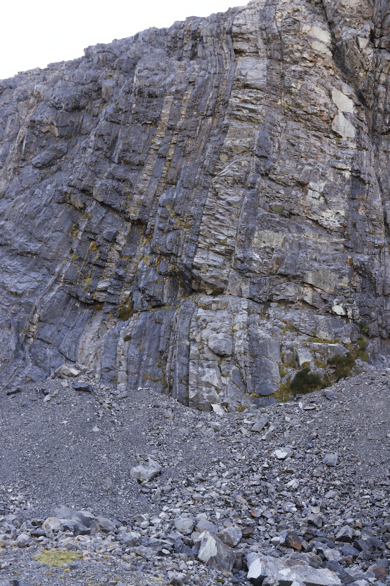
The track from the Iris Burn Hut starts off through dense forest and openeds out a little further down as the following two photos show.


One noticeable difference from the Paparoa Track were the relative abundance of birds. Traps are set out approximately every 400m and judging by the odour near some, are successful in dealing with predators.

Birds heard during the tramp:  Kiwi, ruru (morepork), kaka

Birds seen: Piwakawaka (fantail), Korimako (bellbird), Matata (Fernbird) , Kereru (Wood pigeon), Toutouwai (NZ Robin), Titpounamu (Rifleman), Miromiro (Tomtit).


Friendly robin

Less than 50cm away on my camera bag

I did not carry any other lenses with me so there are no photos of other birds. It was enough to carry my DSLR and 15-85mm lens without any extra weight.


On this day and the next, there were many trees which had fallen or been blown over. Part of the natural cycle in the forest involves recycling of nutrients so that a healthy ecosystem survives. At the time I walked the Kepler, Southland and the Fiordland National Park was is a very dry almost drought like situation. The only readily seen fungus was the following species growing the side of a dead trees.


Millions of browns spores released to catch in the wind and spread to other hosts.

Hollow log


Emerging fungus

Common fungi - name?


The hut on the shores of the lake was a welcome sign after a pleasant day's walk.


Moturau Hut

The hut warden Phil, gave us an interesting history of the lake and the building of the power station for the aluminium smelter in bluff. This took place down on the lake shore in front of the hut where the developing sunset added extra interest to cap off the day.

Late evening, Lake Manapouri

Lake Manapouri sunset

The alarm was set for early next morning!


Day 4

Today Ian and I aimed to be home before 6 pm.

After an early breakfast and pack up we left the hut just before 8:00am, before sunrise. We had a 90 minute walk to get to the car at Rainbow Reach by 9:30


Waiau River

Because of a the lack of rain, both lakes were at very low levels and the flow in the river had been cutback to 85 cumecs.

Back to the car and short drive around to have a shower and change into fresh clothes it was off home, 520 km away.


Lunch stop, Kawarau River at Roaring Meg

Return to start, Day 1 or  Day 2


Friday, April 1, 2022

Kepler Track 2.

If you haven't started at Day 1, go back to the beginning on this blog.

Day 2 of our walk again dawned fine. In these huts there is always someone waking up earlier. I took the opportunity to get up before sunrise and go walkabout with the camera. 

Fog filling the Te Anau Basin.

Before sunrise 

After taking the above shot I moved around the track get the sun rising above a distant range of mountains. Then returned to the same spot a few minutes later.


Sunrise.

The star burst effect here is achieved by shutting the aperture down. You couldn't take a photos like this on a cellphone. ( Shot details: ISO 100, focal length 15mm, f/22, 1/40 s with exposure compensation of -1 2/3.) This is the shot of about 10 I took in order to get this exposure here.

A few minutes after sunrise.


Luxmore Hut in the golden light after sunrise.

Leaving the Luxmore hut at 0950hrs the track climbs steadily towards Mt Luxmore where a short side trip leads to the summit. This takes about an hour and a rise in elevation of about 400m.

The track from Luxmore Hut around the side the mountain

Leaving Ian an kea watch, the summit is only a 10 minute scramble to the summit at 1472m. (Keas are very inquisitive and adept at using their sharp beaks to attack packs and pull items out and spread them around given the chance.) No keas were around. The hut wardens warn trampers to look out for keas and what they are capable of doing.


The last view of Te Anau from the top of Mt Luxmore.

A great 360° panorama on a fine day is breath taking. Well worth lugging my DSLR with me.


The track leads along the tops to a good lunch stop at Forest Burn shelter. Plenty of photo stops on the away too.

Ian taking a breather at the emergency shelter before were had lunch.

From here the track goes along several ridges for a few kilometres before reaching the Hanging Valley Emergency shelter.

Ridge line track

The last view of the South Arm of Lake Te Anau before the descent
down to the next hut.

From the Hanging Valley shelter the track plunges down a series of steep steps and ankle twisting loose rocks, if you are not careful. Walking poles came into their own here and are highly recommended.

The hanging valley.

A steep descent down to Iris Burn. Lake Manapouri top left.

Once in the bush, the bird song came back. More about the bird life in the next blog. 


Iris Burn Hut.

The hut was a welcome site after a very hard day. We arrived nearly 8 hours after Luxmore Hut. We were told that kiwi are most likely to be found here and that you could easily spot them after dark. I was so tired after a strenuous day that I didn't go kiwi spotting. Those who did, saw none! I did hear the call of the kiwi though, albeit some distance away.


Return to the start of the trip on Day 1.


Day 3 here now.