Recently I completed a four day walk from Blackball to Punakaiki over the Paparoa Range. This is something that I was pleased to do after open-heart surgery 13 months ago.
Photos included here were taken on my phone and are good but but not up to what I could have taken using my DSLR which would have added more weight to my pack. As this was my first real test of my reconditioned heart, I didn't want to be struggling with extra heavy gear. I might be tempted to include my Canon and one lens on my next trip now that I know what I could cope with.
Travelling with my friend Ian who got the 10 day weather forecast right (it cleared after a weekend storm) we had to overnight in Blackball. We arrived there later in the day to stay overnight in the famous hotel. The letter from the lawyers in New York prompting the inclusion of "Formerly" in its name.
Formerly The Blackball Hilton basking in the afternoon sun.
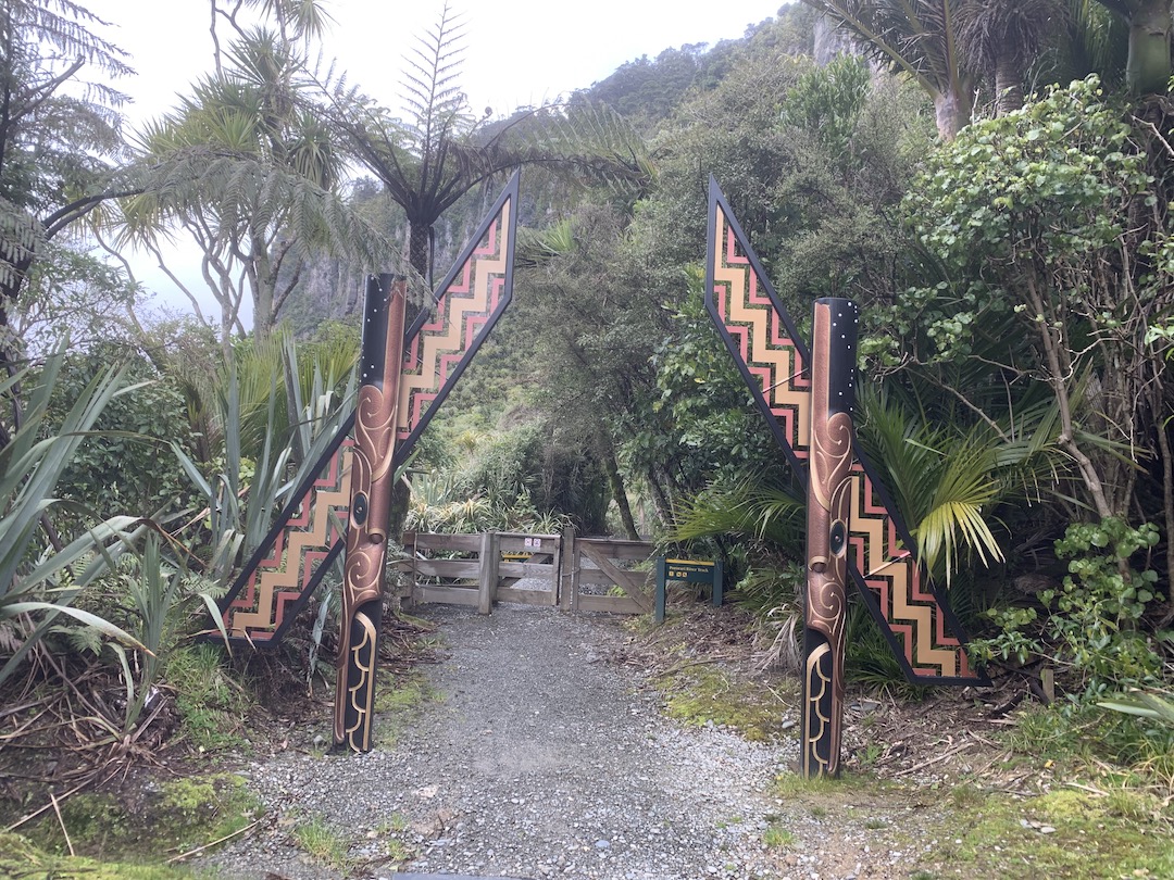
The start of the track is around 9 km from the hotel by shuttle. A short walk down to cross the Smoke-ho river then it was uphill all the way to the Ces Clarke Hut 10 km away.
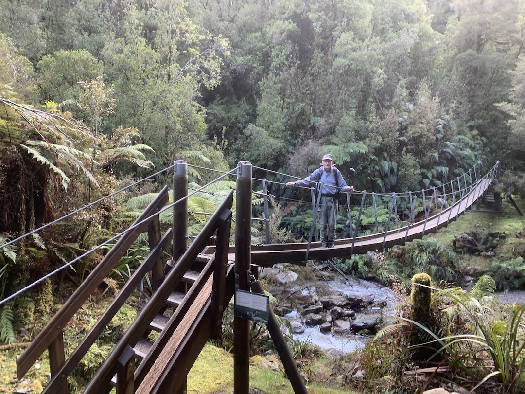
Ian on the first of many swing bridges at Smoke-ho
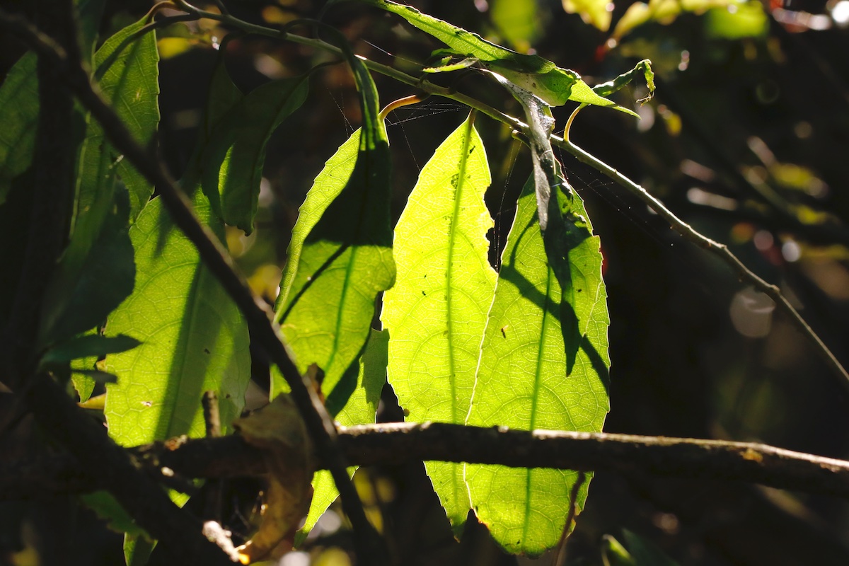
A taste of the bush to come upstream at Smoke-ho bridge.
The Smoke-ho swing bridge.
Because this track is also a mountain bike track, the grades are not demanding but rather easy to get to the hut. A few stops on the way to some old hotel sites and gold working are worthwhile. However we did not take the side trip to the Garden Gully quartz crushing gold mine site as the sole of my boots started to detach. Temporary repairs with Ian's spare boot laces and some tape got me to the first hut.
The Grey Valley from Ces Clarke Hut
Arriving at the hut we found Rachel, the DOC hut warden, had the fire going and was able to provide more boot repairs. This time some slices of bike tube stretched tightly held out for two days. The duct tape wrapping came adrift next day.
Malcolm and Norman were our hut companions and as there were 3 ex-firefighters in the hut, there was plenty of stories swapped and embellished too.
Rachel about to depart for Moonlight Tops Huts
Before she left, Rachel advised us to get away early next morning as strong winds were expected in the afternoon with a significant wind chill. This we took and were away before 8:00 am. A 30 minute side trip to Croesus Knob was abandoned after 5 minutes when the duct tape on my boot came adrift. It was a nervous tramp to the next hut hoping the bike tube repair held out. It did although spares were at hand.
Mts Cook and Tasman, to the left, from the ridge after the track to Croesus Knob.
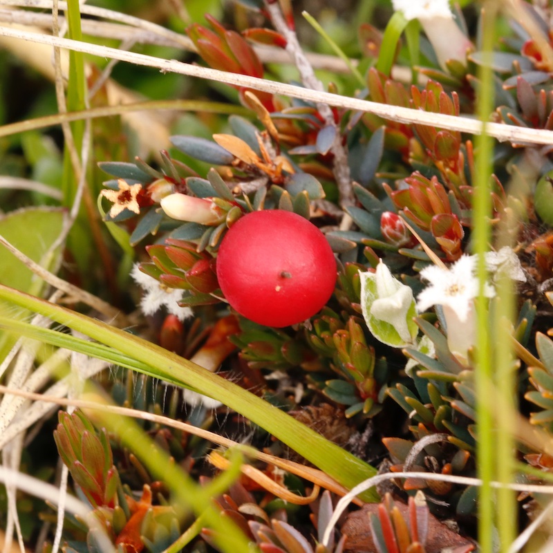
The worm in the photo below was the only sign of wildlife apart from some distant but infrequent bird calls. DOC had traps set every 100 m or so along the track.
Moonlight Tops Hut was a welcome site at 11:00 am in the rising wind and colder temperatures. Ice on the track was a problem on the way in and next day as well.
Once again, Rachel had the fire going and this time produced some cable ties which affected good boot repairs. (New boots have been purchased.) This time we has a full hut (20) for the night.
Looking north towards Charleston from Moonlight Tops.
The Pororari Escarpment, a giant sandstone bluff
After weathering quite strong overnight winds, we set off next morning to the last hut on the walk. This took us along the top of the escarpment on the longest section of the walk, 19km to the Pororai Hut.
The escarpment from Moonlight Tops in the golden hour before sunset.
Moonlight tops hut on the way to the escarpment.
All rugged up on the track above the escarpment.

On the escarpment. The Moonlight Tops Hut is on the bush line
above the rock in the light.
The track followed the top of the bluff for several kilometres with some viewpoints right on the edge. It is a long way down from the next two photos.
Near the end of the bluff part of the track there are some huge basins. The first one was Obsidian Basin and the next Argillite Basin. I was puzzled at the name of the first one but lower down on the track there are large granite formations. Perhaps some of the silica rich magma did get to the surface long ago and cooled rapidly - hence obsidian. We did come across argillite in the greywacke lower down.
Argillite Basin
At the top of the bluff there is an emergency shelter before the track zig-zags down. A surprise waterfall was the next highlight.
The falls would look spectacular after heavy rain.
Out of the wind, it was time to reduce the number of layers .
On the bridge by the falls.
Sturdy swing bridges mean that one does need to get feet wet.
After 5:45 hrs and 19 km the Pororari Hut was a welcome site in mid afternoon.
As the hut sits high in the hills and overlooks the Tasman Sea there were good prospects of sunset photos. The sinking sun shone brightly over the landscape bathing it in a lovely golden colour.
Paparoa Hut near sunset.
Next day was tramp out to Punakaiki. Several signs warned us that there had been cyclone damage to the forest in, Cyclones Fehi and Ofa 2018 and 2014 Cyclone Ita. Whilst is was a shame that large areas had been flattened, this is all part of the natural cycle where areas are opened up to sunlight so that regeneration can occur.
A large rimu fell across the track.
One of several bridges across the Pororari River.
Crystal clear pool, probably 3-4 m deep.
The last part of the track alongside the Pororari River is through dense podocarp forest and limestone bluffs. Nikau palms abound too. Good a for a day walk from the road.
Walk's end at Punakaiki
We did meet some really nice people in the huts. Some doing the track in 3 days including 12 that we spent time with for two nights in huts. Several came from Nelson and Palmerston North as well as 2 couples from Hector going the other way fro one night at Moonlight Tops.
Craig from Paparoa Great Walks provided us with a shower and transport back to Blackball to the car. He picked us up at the hotel and Blackball and delivered us the start of the track.
I am pleased to have given my body a good workout after heart surgery last year and more Great Walks are planned. The Routeburn and Stewart Island are next.
As a first up walk I would recommend this one for several reasons.
- this track is graded for biking so no steep parts like steps.
- huts are modern and heated
- gas cookers are provided
- USB solar powered charging ports provided with some coverage at Ces Clarke and to Moonlight Tops.
Hope you have enjoyed walking with me. I certainly did.